 |
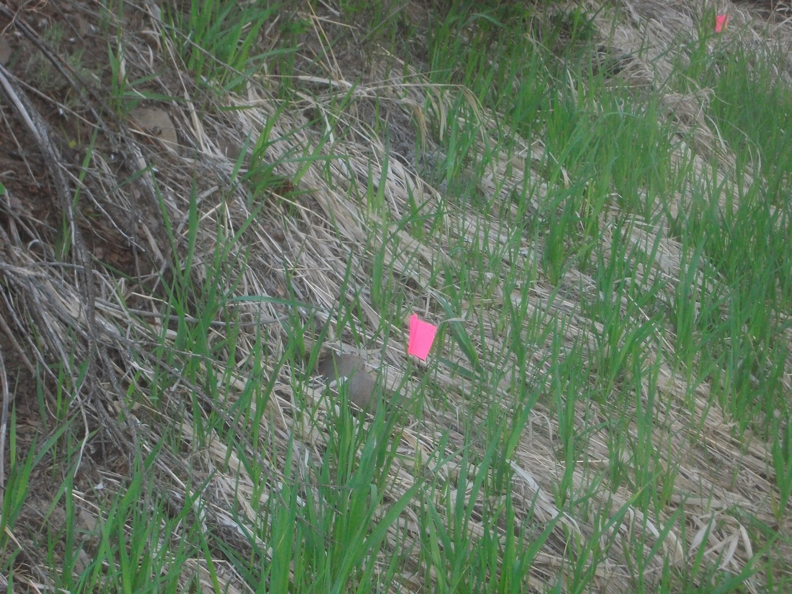
| 7th and 8th graders worked in Pine Canyon east of the big horseshoe curve. They did photopoints, measured slope, looked for animal signs, tree and other plant id, and mapping. |


 |


| 4/10/2008 | 5/9/2008 | ||
| Trees - Diameter (inches) | |||
| 1 - Ponderosa Pine | 72 | ||
| 2 - Ponderosa Pine | 6.5 | ||
| 3a - Douglas fir root - left | 38 | 7 | check with Jaime - can't read writing |
| 3b - Douglas fir root - middle | 27 | 18 | should spray paint the measuring site |
| 3c - Douglas fir root - right | 26 | ||
| 4 - Douglas fir | 9.5 | ||
| 5 - Douglas fir | |||
| 6 - Douglas fir | 5 | ||
| 7 - Douglas fir | 8.5 | ||
| 8 - Red-twig dogwood | 312 | ||
| Site 2 | |||
| 1 - Ponderosa pine | 72 | ||
| 2 - Ponderosa pine | 71 | ||
| Trees - Height (feet) | |||
| (Estimate) | |||
| 1 - Ponderosa Pine | try to calculate from photo | ||
| 2 - Ponderosa Pine | 20 | ||
| 3a - Douglas fir root - left | n/a | ||
| 3b - Douglas fir root - middle | n/a | ||
| 3c - Douglas fir root - right | n/a | ||
| 4 - Douglas fir | 10 | ||
| 5 - Douglas fir | 9 | ||
| 6 - Douglas fir | 7 | ||
| 7 - Douglas fir | 25 | ||
| 8 - Red-twig dogwood | 10 | ||
| Site 2 | |||
| 1 - Ponderosa pine | try to calculate next field trip | ||
| 2 - Ponderosa pine | try to calculate next field trip | ||


| 7th Grade Photo Point Monitoring | ||
| Bank Width (feet) | 5/9/2008 | |
| Location | ||
| 1 | 54'5" | |
| 2 | 51 | |
| 3 | 54' 5" | |
| 4 | 85 | |
| 5 | 92 | |
| 6 | 82 | |
| 7 | 87.5 | |
| 8 | ||
| 9 | ||
| Bank to Stream | ||
| Location | 5/9/2008 | |
| 1A | 34' 2" | |
| 1B | 4'2" | |
| 2A | 25.5 | |
| 2B | 7.5 | |
| 3A | 18' 1" | |
| 3B | 39 | |
| 4A | 22 | |
| 4B | 21 | |
| 5A | 27 | |
| 5B | 16 | |
| 6A | 13 | |
| 6B | 27 | |


| Bank Height (inches) | 5/9/2008 | |
| 1A | 115 | |
| 1B | ||
| 2A | 95 | |
| 2B | ||
| 3A | 76 | |
| 3B | ||
| 4A | 69 | |
| 4B | ||
| 5A | 78 | |
| 5B | ||
| 6A | 33 | |
| 6B | ||
| 7A | 72 | |
| 7B | ||
| 8A | 62 | |
| 8B | ||
| 9A | 77 | |
| 9B | ||
| Bank Slope (%) | 5/9/2008 | |
| 1A | 40 | |
| 1B | ||
| 2A | 10 | |
| 2B | ||
| 3A | 40 | |
| 3B | ||
| 4A | 40 | |
| 4B | ||
| 5A | 40 | |
| 5B | ||
| 6A | 35 | |
| 6B | ||
| 7A | 20 | |
| 7B | ||
| 8A | 10 | |
| 8B | ||
| 9A | 45 | |
| 9B |


| Site 2 | |||||
| Location Description: | |||||
| Next to a large pine tree and sagebrush | |||||
| along a deer trail overlooking the stream | |||||
| Lat/Long (decimal degrees) | 47.664167 | -120.12420 | |||
| "Etrex d.mmm setting" | 47 degrees 39.850 minutes & 120 degrees 07.452 minutes | ||||
| Elevation | 2,432 ' | ||||
| Compass Bearing | |||||
| Establishing Observers: | Kendra and Ruby | ||||
| Camera: | Digital | ||||
| Photo Monitoring Start Date: | 5/9/2008 | ||||
| Slope in 20' gradients up from Bank location #1 | |||||
| % | Soil type: | ||||
| 20' | |||||
| 40' | |||||
| 80' | |||||
| 120' | |||||
| Slope in 20' gradients from stream to Photo Site #2 | |||||
| % | Soil type: | ||||
| 20' | |||||
| 40' | |||||
| 80' | |||||
| 120' | |||||


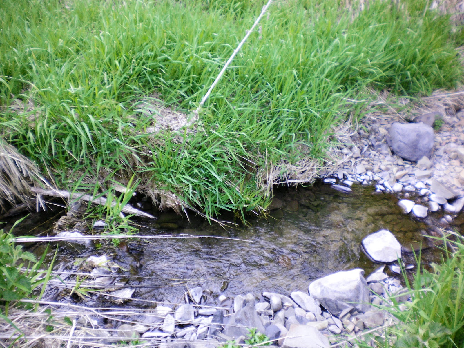 |
| The water flows underground and then reappears above ground at various spots. |


No comments:
Post a Comment